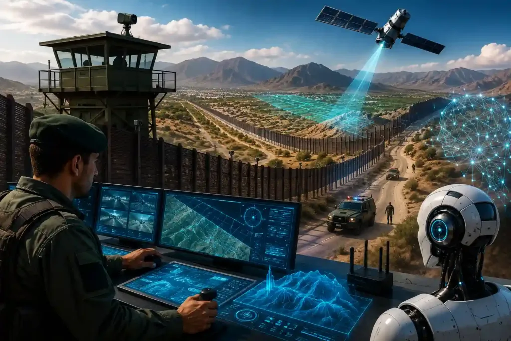
India’s land borders run over 15,106 kilometres across terrain that includes desert, riverine delta, dense forest, and high-altitude mountains. No security force, however well-resourced, can station personnel along every metre of that distance with equal density. Some stretches are physically fenced and electronically monitored. Other riverine sections that shift with the seasons and marshy terrain where fencing isn’t feasible and forested corridors remain structurally difficult to monitor through physical presence alone.
This is the reality that has driven India’s border management strategy toward technology-fused surveillance over the past decade, from the Comprehensive Integrated Border Management System’s sensor networks to the more recent Smart Border initiative, which combines high-resolution cameras, thermal imaging, fibre-optic and seismic sensors, drones, and AI-driven analytics into what officials describe as a 24×7 automated surveillance grid.
Satellite intelligence is the layer above this ground architecture, the macro view that can observe terrain, infrastructure, and activity patterns across distances and in locations that ground sensors and patrols cannot continuously cover. The question this raises is practical: what can AI applied to satellite data actually do for border monitoring today, and where are the genuine limits of that capability?
What AI-Powered Satellite Monitoring Can Actually Do

The realistic, well-established capabilities fall into a few specific categories:
Change Detection Across Wide Areas
This is the most mature and well-validated application of AI to satellite imagery. Modern change detection systems, many using deep learning architectures trained specifically for this task, compare satellite images of the same location taken at different times and automatically flag what has changed: new construction, cleared vegetation, altered terrain, new vehicle tracks, or shifts in infrastructure.
Applied to border monitoring, this means an area that would require a human analyst to manually compare images side by side, a slow, error-prone process across hundreds of kilometres of border terrain, can instead be automatically scanned for meaningful changes, with the system flagging only the locations where something has genuinely shifted. Commercial providers including Airbus offer infrastructure change detection as a standard analytics product, built on exactly this capability.
All-Weather Monitoring Through Synthetic Aperture Radar
Optical satellite imagery has an obvious limitation: clouds, fog, and darkness obscure it. Synthetic Aperture Radar (SAR) addresses this directly. SAR satellites generate their own signal and can image terrain regardless of weather or time of day, detecting changes, structures, and movement patterns that optical imagery would simply miss during monsoon season or at night.
Persistent Coverage Through Increasing Satellite Revisit Rates
The practical value of satellite monitoring depends heavily on how frequently a given location is imaged; a satellite that passes over a border area once a week offers limited value for tracking fast-changing activity. The commercial Earth observation industry has shifted significantly toward daily, near-continuous imaging through large constellations of smaller satellites, a trend that has made frequent revisit monitoring of specific areas of interest increasingly accessible and affordable, including for government and security applications.
AI-Assisted Interpretation at Scale
The genuine bottleneck in satellite intelligence has never been the volume of imagery available; it’s the human capacity to review it. A border security organisation monitoring thousands of kilometres of terrain, supplemented by infrastructure imagery, generates more raw imagery than any team of analysts can manually review in useful time.
AI’s most significant contribution here is interpretation at scale: automatically flagging anomalies, classifying terrain and infrastructure features, and surfacing the small fraction of imagery that actually warrants a human analyst’s attention, rather than requiring analysts to review everything to find the few things that matter. This is the same underlying shift that AI has brought to other large-volume intelligence domains: not replacing human judgement, but ensuring human judgement is applied to what’s actually significant.
Where This Genuinely Matters for Border Security

Monitoring unfenced and difficult terrain
A meaningful proportion of India’s land border, riverine stretches affected by shifting channels, marshy terrain, dense forest cannot be physically fenced or is only partially fenced. Satellite-based change detection extends monitoring coverage to exactly these gaps, where ground sensor density is necessarily lower.
Tracking infrastructure changes near border areas
New construction, road development, or facility changes near a border, whether on the Indian side for planning purposes or observable patterns relevant to border security assessment, can be tracked systematically over time rather than relying on periodic, manual review.
Identifying activity pattern shifts across wide corridors
Changes in vehicle tracks, foot traffic patterns, or seasonal land use across a wide area can indicate shifts in smuggling routes or infiltration patterns that wouldn’t be visible from any single ground sensor’s vantage point but become apparent when an AI system analyses imagery across the full corridor over time.
Supplementing, not replacing, ground sensor networks
The most effective deployment model, reflected in how India’s own Smart Border initiative is structured, fuses satellite-derived intelligence with ground sensors, drone feeds, and physical patrol data into a single operational picture. Satellite intelligence flags where attention is warranted at a macro level; ground-based systems and patrols provide the detailed, real-time response at the specific location.
The Data Sovereignty Question

Border infrastructure monitoring data, satellite imagery of sensitive areas, change detection alerts, and infrastructure assessments are operationally sensitive by definition. Any AI system used to process and interpret this data, particularly the analytical layer that flags anomalies and generates assessments, needs to operate within the deploying organisation’s own secure infrastructure, with the underlying imagery and analysis never routed through external systems outside the organisation’s control.
This is the same sovereignty requirement that applies across every sensitive national security application of AI: the capability can be built on commercially available satellite imagery and well-established AI techniques, but the analytical infrastructure that processes this data for a specific border security purpose needs to run on infrastructure the deploying agency controls directly. Explore how.
To Conclude

Satellite intelligence does not replace the ground sensors, patrols, and physical infrastructure that form the immediate layer of border security, and treating it as if it could would misrepresent what the technology is built to do. What it offers is a genuinely different and complementary capability: persistent, wide-area observation of terrain and infrastructure that no ground sensor network, however dense, can fully replicate across thousands of kilometres of varied and difficult terrain.
AI’s role in this picture is specific and well-defined: automating the comparison and interpretation of satellite imagery at a scale no team of analysts could review manually so that human attention is directed to the changes and patterns that genuinely warrant investigation. This is a meaningful capability, grounded in established techniques like change detection and SAR analysis, not a speculative one, and not a complete solution on its own.
The border security organisations getting the most value from this technology are the ones treating it exactly this way: as one well-integrated layer in a broader surveillance architecture, not as a standalone system expected to do more than satellite imagery, however well-analysed, can reliably deliver.
Frequently Asked Questions
1. What is change detection in satellite-based border monitoring?
Change detection is an AI technique that compares satellite images of the same location taken at different times and automatically identifies what has changed, new construction, cleared vegetation, altered terrain, new tracks, or infrastructure modifications. For border monitoring, this allows wide areas to be systematically scanned for meaningful changes without requiring analysts to manually compare imagery across hundreds of kilometres of terrain. It is one of the most mature and well-validated applications of AI to satellite imagery, with established commercial products available from major Earth observation providers.
2. What is Synthetic Aperture Radar and why does it matter for border surveillance?
Synthetic Aperture Radar (SAR) is a satellite imaging technology that generates its own signal rather than relying on reflected sunlight, allowing it to capture imagery regardless of weather conditions, cloud cover, or time of day. This matters significantly for border monitoring in regions with extended monsoon seasons or cloud cover, where optical satellite imagery can be obscured for weeks. SAR provides consistent monitoring capability through exactly the conditions when optical satellite coverage is least reliable.
3. Can satellite imagery identify individuals at the border?
No, this is an important limitation to state clearly. Even high-resolution commercial satellite imagery is a wide-area pattern and change detection tool, not a tool for identifying individuals. That level of detail requires ground-based cameras, sensors, and patrols. Satellite intelligence is most valuable for identifying infrastructure changes, terrain shifts, and activity patterns across wide areas, flagging where ground-level attention and verification are warranted, not replacing the detailed surveillance that ground systems provide.
4. How does AI-powered satellite monitoring complement existing ground-based border systems like CIBMS?
Ground-based systems like India’s Comprehensive Integrated Border Management System provide dense, real-time monitoring at specific points along the border through thermal imagers, ground sensors, and radar. Satellite-based AI monitoring adds wide-area, persistent coverage across terrain that’s harder to continuously monitor at ground level, riverine stretches, unfenced sections, dense forest. The most effective approach, reflected in current border management strategy, fuses both: satellite intelligence identifies where attention is warranted across a wide area, and ground-based systems provide the detailed, real-time response at that specific locations.
5. Is AI-based satellite monitoring fully autonomous, or does it require human review?
It requires human review, and this is by design rather than a current limitation awaiting a future fix. AI-based change detection and anomaly flagging systems are built to direct analyst attention efficiently to the small fraction of imagery that warrants a closer look, not to make autonomous determinations. A flagged change is a signal that something has shifted and should be investigated, not a confirmed finding. Published research on operational change detection systems is explicit that human verification remains a necessary part of the workflow.
6. What data sovereignty considerations apply to AI-powered satellite intelligence for border security?
The satellite imagery itself is often available from commercial Earth observation providers, but the analytical infrastructure that processes this imagery for border security purposes, flagging anomalies, generating change detection alerts, correlating findings with other intelligence, needs to run on infrastructure the deploying security agency directly controls. This ensures that the analysis, assessments, and any patterns identified about sensitive border areas remain within the agency’s own secure environment rather than being processed on external systems outside its control.